CAPTIVISION.AS@GMAIL.COM
(951) 435-0697 | Temecula, CA
CAPTIVISION
Home
Services
About
Contact
Become a Pilot
More
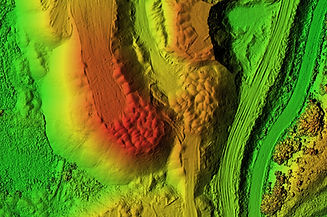
Real EstateEventsAssessmentsMapping
Packages include a combination of aerial and ground photography and can be customized for your convenience
Photos
Videos
3D Tours
Construction
Inspections
Surveys
2D / 3D Mapping